
Geographic index
Destinations, read by region
Each chronicle is placed on a fine-line map with its coordinates, dated observations, and a clear note on what is verified.
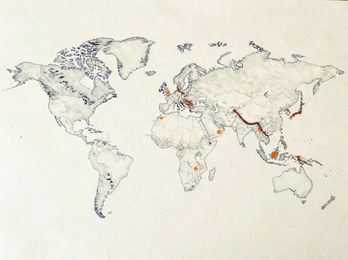
Americas and the Caribbean
Journals from the Americas
Field notes from cities, coastlines, and transit corridors, each dated and placed by coordinates.
Europe and Scandinavia
Northern and European routes
Chronicles of rail, road, and coastal travel, with practical notes on seasons and access.

Asia and the Middle East
Corridors across Asia and the Middle East
Observations on cities, markets, and landscapes, with dated context for each region visited.

Sourcing and dating
How each territory note is verified
Dated log entries
Every regional note carries the date of observation, so readers can judge how current a piece is.
Transit verification
Routes, schedules, and access details are checked against official sources and flagged when they may change.
Geographic sourcing
Coordinates and place names are taken from authorized maps and cited alongside each chronicle.